
Programs
Explore our current initiatives to prevent loss from wildfire, discover helpful resources developed just for you, and find ways to get involved in protecting our properties.
Filter By Applicable Zone
Filter By Program Type

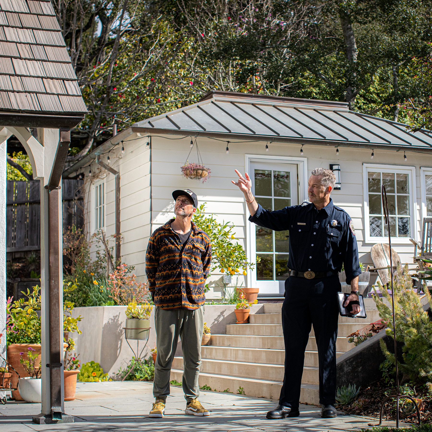
Defensible Space Inspection Program
Berkeley Fire Department visits residential properties in the Very High Fire Hazard Severity Zones to evaluate whether your home meets defensible space, vegetation management, and home hardening standards.
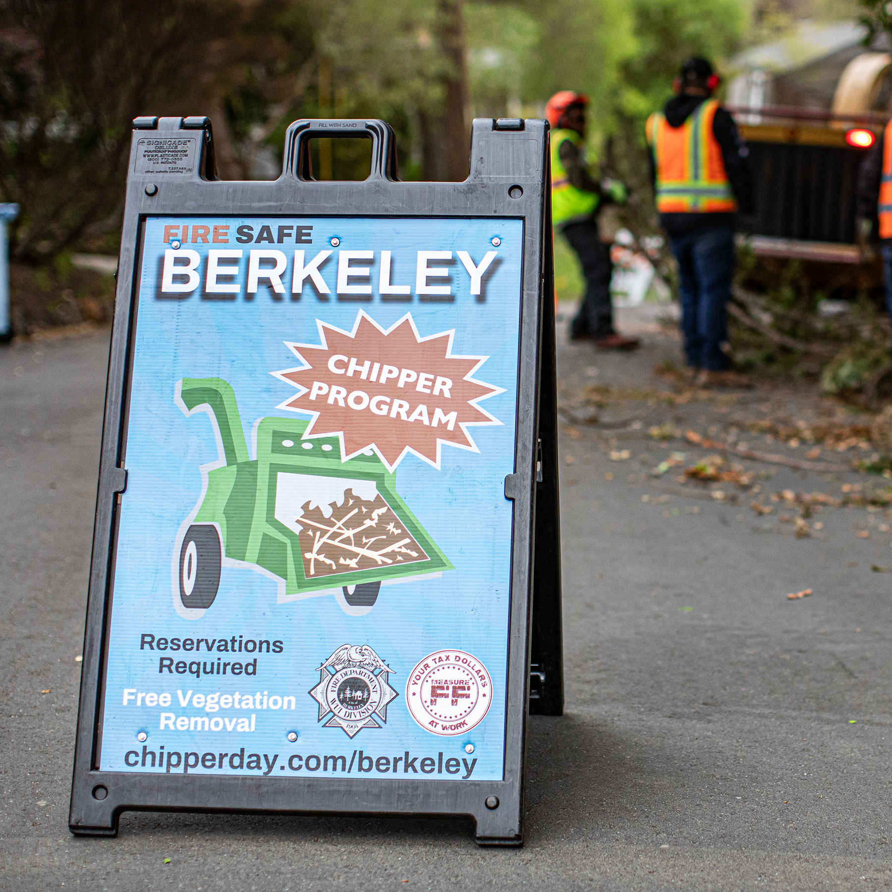
Chipper Program
Chipper Day offers free curbside pickup, chipping, and disposal of vegetation for all residential properties in the City of Berkeley. This service helps residents create and maintain defensible space around their homes.
Resident Assistance Program
The Resident Assistance Program (RAP) offers financial or logistical support to qualified residents who face challenges addressing defensible space violations.

Home Hardening Mesh Program
The Home Hardening Mesh Program offers residents free metal mesh and gutter guards. Metal mesh and gutter guards can prevent embers from igniting homes, contributing to home hardening best practices.

Eucalyptus Program
A free one-time service to clear the understory of eucalyptus trees on private property.
FireWise Support
The National Fire Protection Agency (NFPA) has developed the FireWise program to help communities reduce wildfire risk through effective vegetation management and home hardening practices.

Grizzly Peak Vegetation Management Project
In 2025, we are focusing on removing dead and dying vegetation that is most likely to ignite during a wildfire to protect the more than 29,000 structures. Removing and clearing certain areas in Grizzly Peak will help create a fuel break between the remaining vegetation.

Alameda County Coordinator
The County Coordinator aims to foster county-wide collaboration and coordination among wildfire mitigation groups, enhancing overall wildfire resilience strategies and community preparedness.
Fire Intern Inspector Program
The Berkeley Fire Department's Wildland Urban Interface Division hosts an annual internship program where interns conduct defensible space inspections in Fire Zones 2 & 3.